tcpMDT Surveying
Coordinate transformations and calculations with total station data
- Traverses and Networks
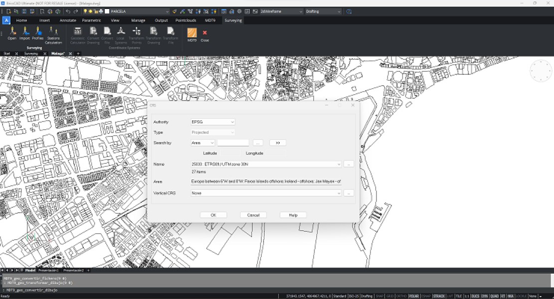
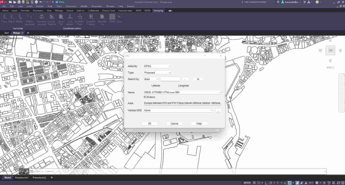
- Coordinate transformations
- Geodesy Calculator
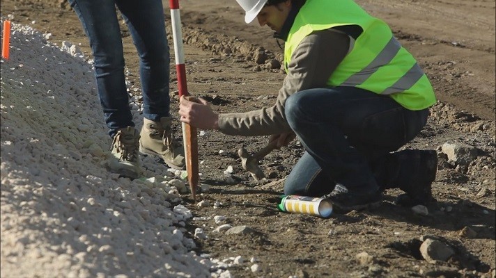
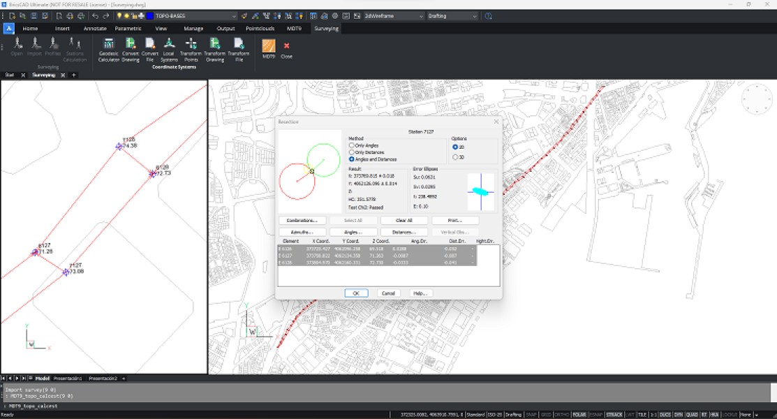
- Calculation of Total Stations Observations
- Local Coordinate Systems
Description
Surveying Module Coordinate reference systems with worldwide coverage. Performs global or local transformations of points, files or drawings. Processing of total station observations, calculation of point coordinates and compensation of traverses and networks.
Documentation
Language


Requirements
tcpMDT Surveying
TcpMDT Surveying
BricsCAD Pro V16 - V25
Windows
BricsCAD Pro V16 - V25
Windows
Released
August 14, 2017
Publisher
APLITOP SL
Calle Sumatra 9
MalagaMalaga29190
SPAIN
aplitop.com
+34 952 43 97 71