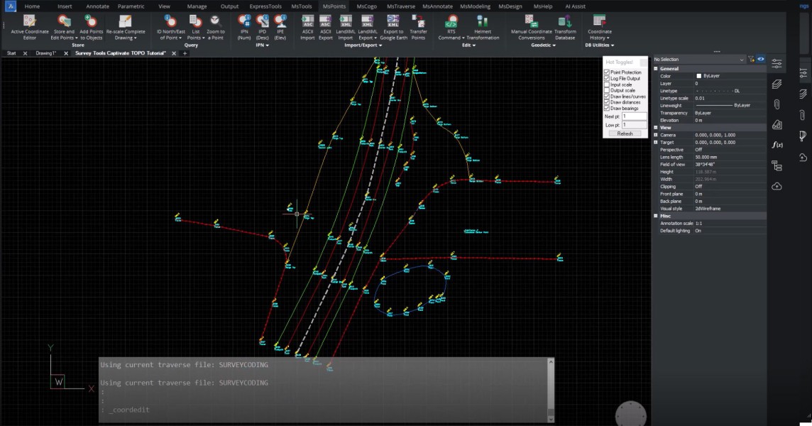
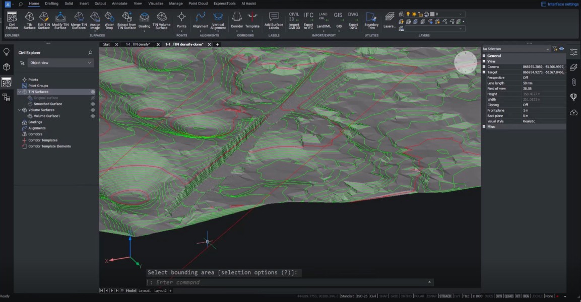
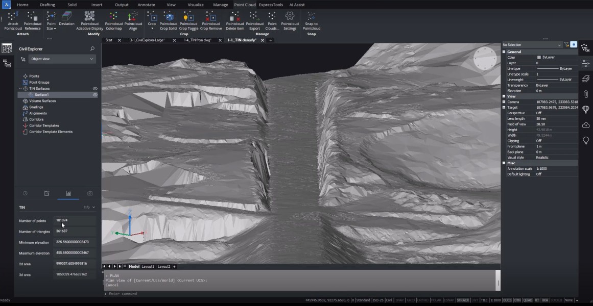
SurveyTools™ for BricsCAD®
SurveyTools™ for BricsCAD® is an all-in-one solution for surveying specific workflows, combining industry-leading technology that accelerates productivity while ensuring data integrity.
- TOPO Maps and Plans
- Grid to Ground Scaling and Data Management
- Effortless Construction Layout
- Surface from MicroSurvey Points
- Field to Finish Line Work and Symbol Creation
Description
Software workflows can be disjointed and simple tasks can be overcomplicated by using solutions not built with surveyors in mind. SurveyTools™ for BricsCAD® combines the powerful surfacing and point cloud tools from BricsCAD® with a complete suite of survey tools for land surveyors from MicroSurvey.
Documentation
Language

Requirements
SurveyTools™ for BricsCAD®
Version 25
BricsCAD Pro V25
https://helpdesk.microsurvey.com/en-us/article/294-microsurvey-release-history-and-downloads-links/#stbrics
Windows
BricsCAD Pro V25
https://helpdesk.microsurvey.com/en-us/article/294-microsurvey-release-history-and-downloads-links/#stbrics
Windows
Released
November 2, 2023
Publisher
MicroSurvey Software Inc
3500 Carrington Rd # 205
WestbankV4T3C1
CANADA
2503092993