Wms2Cad
Wms2Cad is a unique tool for tilling your CAD drawing with topo and ortho maps with use of worldwide WMS and TMS services for reference purposes.
- Supports WMS and TMS services
- Custom defined WMS and TMS connections
- Integrated "WMS Connection Wizard"
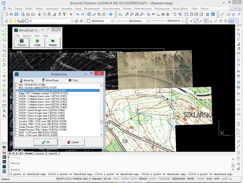
- Supports multiple coordinates systems (custom defined systems allowed)
- Huge base of predefined WMS/TMS services
Description
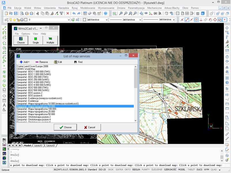
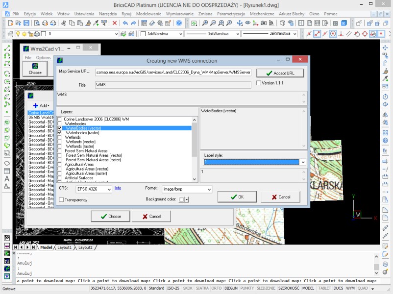
Wms2Cad allows to display raster images from WMS/TMS services and upload these images in a CAD drawing in an extraordinarily easy manner. One has only to choose a map and point in a suitable coordinate system in a drawing the place in which a raster should be put. This can be done twofold: by a single click at a chosen place to display a raster tile, or by marking an area to simultaneously display a group of rasters. Wms2Cad allows for connection with any WMS/TMS service if its owner shares publicly the service’s network address. Knowing this address makes possible to independently define the connection with the service using the special creator. You may also make use of dozens of already predefined connections to various map services, including Open Street Map.


BricsCAD Lite V11 - V19
Windows XP or later
Windows
+48 797729899