GeoWin DTM
Application creates TIN, contours, longitudal profiles & cross sections, calculating volumes, import & export survey points, import & export LandXML, WMS
- TIN with breaklines
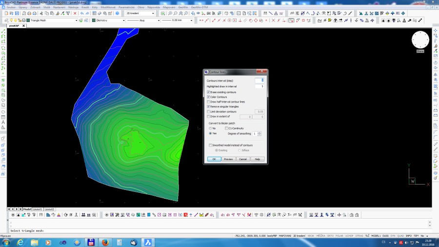
- contours
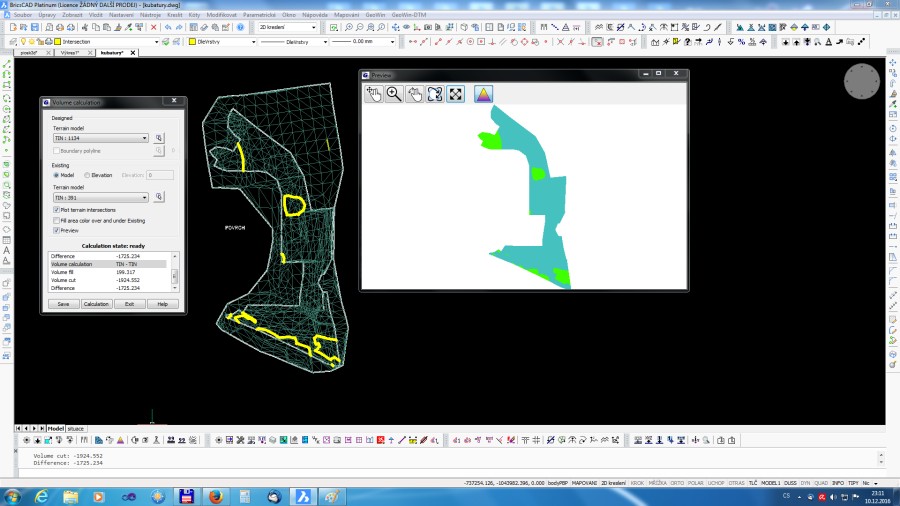
- volumes
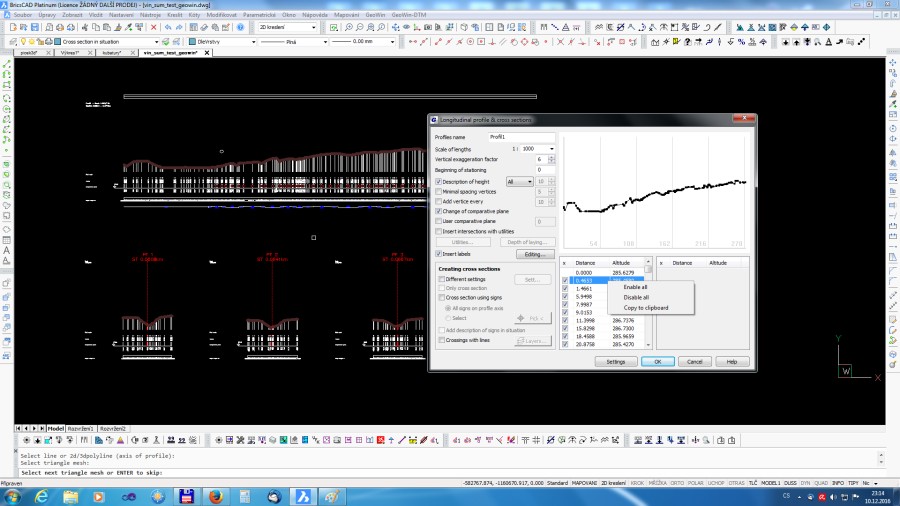
- longitudal profile and cross section
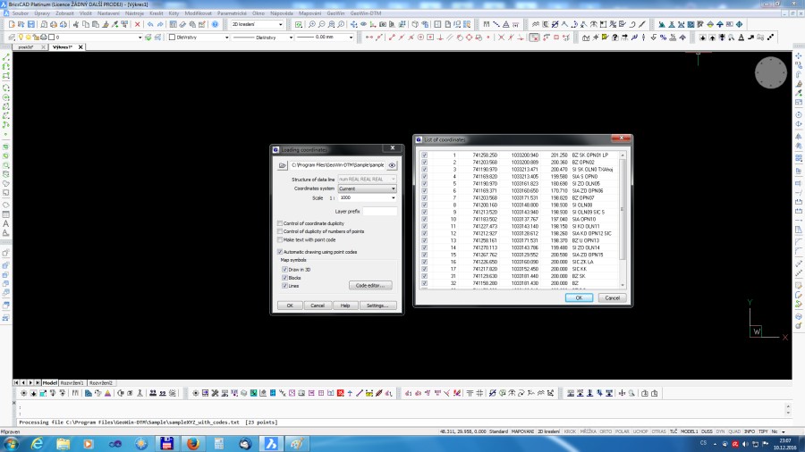
- import and export survey points
Description
Application creates TIN from set of unordered points. User has the option to define breaklines. Creates contour lines or smoothed surface in sketch from TIN. Dynamic editation of TIN. Calculates volumes between two TINs, or between TIN and a comparative plane. Creates a profile from section of TIN. Automatically created cross section. STL import and export. Import ( export ) coordinates of points. Automatic drawing with point codes. Exporting HEC-RAS data. Import & export LandXML, WMS, Google Earth. https://www.geowin.cz/en/ https://www.geowin.cz/Help/DTM-EN/index.html


BricsCAD Pro V13 - V25
Windows
GeoWin DTM GeoWin DTM 32bit
BricsCAD Pro V13 - V20
Windows
+420608753924