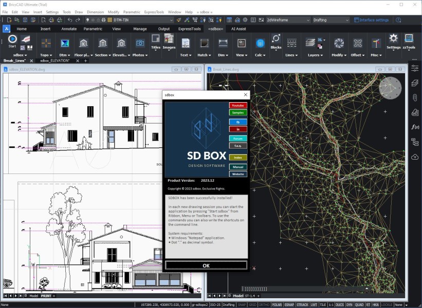
SDBOX
SDBOX was originally developed by a team of engineers to serve the practical needs of daily office work. Over the past 15 years, it has evolved into a comprehensive software solution, always driven by one priority: that users can work efficiently — with reliable, professional support. Engineering expertise comes first — development follows.
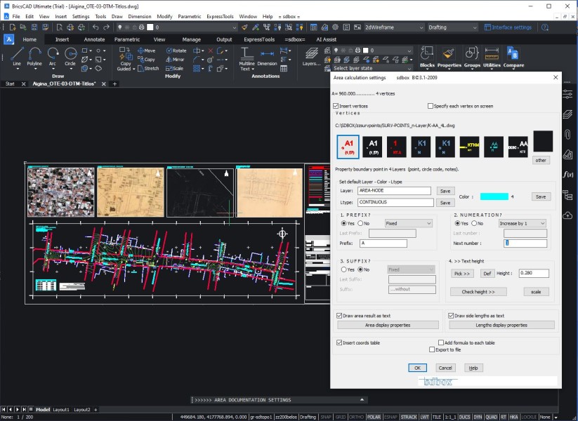
- Includes all the tools needed for composing simple and complex Topographic-Survey Plans.
- Direct access to multiple basemaps (Google Earth, OSM, OTM, Esri, etc.) with just two clicks.
- Tools for applying operations on Texts & Blocks and for operations with values, lengths and surfaces
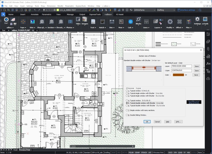
- Tools and guides to aid in the design of Floor Plans, Section and Elevation Plans.
- Digital terrain model creation, editing and drafting tools.
Description
✔ Survey Plan ● Draft complete topographic surveys — from point import to final PDF, with scale-aware automation throughout. ● Covers all intermediate steps, including existing layout, grid, official boundaries, area calculation, tables, declarations, legends, and markers. ✔ Digital Terrain Model ● Triangles ● Contours ● Cross Sections ● Longitudinal Profiles ● Volume Calculation ● Color Gradient ✔ Background Maps ● OpenStreetMap, OTM, Esri etc., with just two clicks ● Automatic import of Map Tiles or Map Capture ● Geolocation across multiple mapping datasets ✔ Import/Export to Google Earth ● Publishing all drawing objects to Google Earth, preserving layers and colors ● Import KML, KMZ preserving all features (folders, colors, texts) ● Google Street View integration ✔ Geospatial Data ● Import and export spatial data (SHP, JSON) ● Coordinate conversions to WGS84 ✔ Georeferenced Images ● Import images using world files ● Import GeoTIFF ● Export georeference ✔ zzlinks Direct access and positioning on web mapping platforms ● Google Earth ● Google Maps ● Bing Maps ● HERE Maps ● Mapillary ● Yandex Maps ✔ Floor Plans ● Architectural symbols ● Auto-generated windows and doors ● Opening tags ● Material patterns ● Automatic annotations: rooms, space usage, legends etc. ● Dimensioning ✔ Sections & Elevations ● Floor plan as Xref ● Automatic window detailing on elevation ● Automated level marks ● Material patterns ● Automatic annotations: rooms, space usage, legends ● Dimensioning ✔ Comprehensive Drawing Management Tools ● Smart handling of text, dimensions, images, patterns, and blocks with auto-scaling based on print scale ● Quick PDF export with just two clicks ● Auto-generated legends for lines, symbols, and patterns ● Import and export object data from and to external files
Documentation


BricsCAD Pro V21 - V25
Windows
SDBOX
Leof. Andrea Siggrou 5
Athina117 43
GREECE